Special Offers
Walking in Mayo
Take a step in the right direction, Ballina and North Mayo is ideal for walking and hill walking - from a stroll on the beach to climbing Croagh Patrick mountain, there are walks suited to everyone's ability and stamina!!!
Ballina Historic Town Walk
Framed by the Ox and Nephin Beg Mountains, Ballina was founded in its present incarnation by Lord Tyrawley in 1723. A settlement existed on the banks of the River Moy long before this, however - a fact that echoes other hidden depths awaiting discovery around the town.
Ballina has three heritage trails, red (3km), blue (3km) and yellow (3km) routes, all of which take about 90 minutes to walk. The blue route centres on Belleek Manor & Forest, built by the Knox-Gore family in the 1830s, and the Ice House cascading down the Moy riverbank. It was originally built in 1859 to freeze and pack salmon for export.
At the north end of Ballina, you’ll also find the derelict old hull of the Creteboom, a concrete tugboat built in response to the shortage of steel in World War I. Brought to the estuary in 1937, it has remained as a curiosity to this day.
The yellow route ranges southwest of the town to sites including a large, famine-era workhouse, the Methodist church and Ballina dolmen. Dating from around 2,000BC, the dolmen is reputed to be the burial place of the Four Maols, a band of brothers who murdered a bishop in the 7th century, and were hanged at Ardnaree for their crime.
Ballina’s red route explores the town centre, criss-crossing the Moy as it passes the old provincial bank, St Muredach’s Cathedral and the remains of an Augustinian abbey. The Humbert Monument, erected in 1898 to commemorate the 100th anniversary of the French landing at Killala Bay, was unveiled by Maud Gonne - who went on to pour water over another speaker's head.
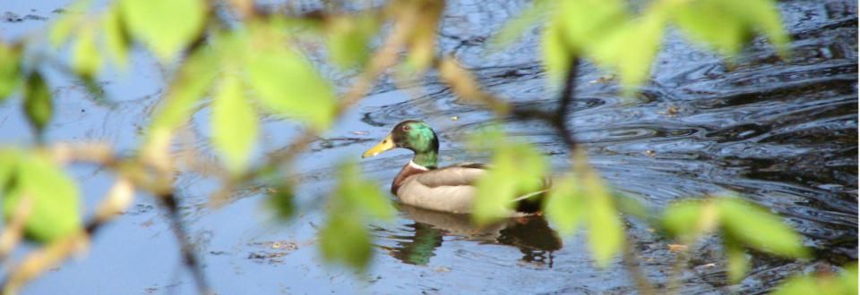
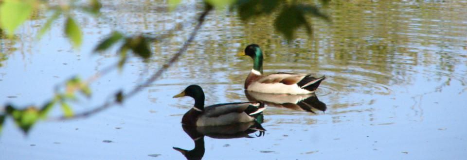
Ballina’s main streets slope down to the River Moy, and in season, you’ll often see anglers on its bridges (perhaps even regular visitor, Jack Charlton). An annual salmon festival is held in July and, from a distance, the Salmon Weir Bridge seems to trace the curve of a fishing rod. Click here to Download the Map
Belleek Forest Park and Heritage Trail - Ballina
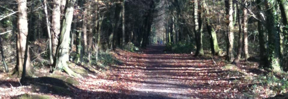
A woodland walk parallel to the River Moy on the old estate of Belleek Castle.There are a variety of trails which include many monuments - a map is available from reception. The trail is located approximately 2km north of Ballina town on the R314 to Killala or adjacent to the River Moy beside the soccer club. It is 4km long over moderate ground on forest paths with a 1.5 hour duration. This trail comprises of a wooded area of the former Belleek estate and is a mixed woodland with conifer trees such as Norway spruce, Scots pine silver fir together with beech, oak and ash. There are many historical features, from bygone days, to be seen along the trail, including a hermitage, ice house and a wall built during the famine in Ireland (1845) as a relief scheme. Each man involved on the building of the wall received a bowl of Indian meal for his days work. There is a diverse habitat on this site with woodland animals such as badgers ,foxes and rabbits present with heron, kingfisher, cormorant and otter to be seen along the riverbank. Click here to download Belleek Map
Foxford Loop Walks
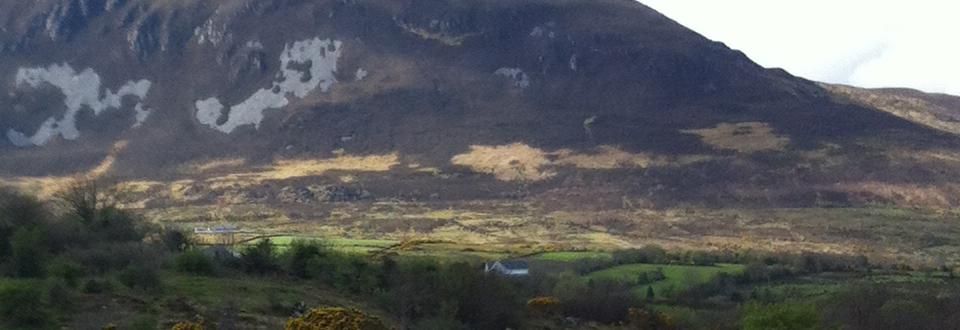
The picturesque town of Foxford on the River Moy nestles between the Ox and Nephin mountains. A number of way marked walking trails have been developed in the Foxford area – Foxford Town Loop, Shanwar/Belgarrow Loop, Foxford Way Loop, Callow Loop: Overlooking the River Moy and the North Mayo landscape, the Foxford loop walks take in the rugged western slopes of the Ox Mountains. An area steeped in culture and heritage, Foxford is also home to the famous Woollen Mills and is the home place of Admiral William Brown, founder of the Argentinian navy. The surrounding mountains have, throughout
Ireland’s long and troubled past, also been used as places of refuge. Interestingly, Foxford hosts Europe’s oldest goat fair every year on the Saturday nearest to the 15th May. The Callow Loop, whose trailhead is found at Callow Lake, just off the Foxford – Swinford Road, is six and a half kilometres long and of moderate difficulty. As walkers wind their way through isolated country lanes they will be rewarded with breathtaking scenery that includes the Callow Lakes, traditional farms and cottages, along with a variety of wildlife. For a slightly tougher walk, the eight kilometre long Shanwar/Belgarrow Loop largely consists of
country lanes which offer admirable views of the River Moy and the area’s famed wild goats! But those looking for a trek with a high degree of difficulty may prefer the Foxford Way Loop – a walk totalling thirty three kilometres in length, this loop is sure to challenge even the most experienced walkers.
Category – inland/mountain detailed information is listed hereunder.
Foxford Town Loop - 4km from the Town centre
Shanwar / Belgarrow Loop - 8km from the Town centre & 1.5-2hour duration.
Foxford Way Loop - 33km & 8-9hour duration
Callow Loop Walk - 6.5km & 2hour duration stating at Callow Lake pier just off the N26. Click here to Download all Foxford Loop Walk Maps
Carrowteige Loop Walks - Belmullet
Situated approximately 70km from Ballina, at the most northerly point of County Mayo and along Ireland’s famous Wild Atlantic Way, Carrowteige boasts some stunning and wonderfully isolated walks. During these walks you will be rewarded with the breath-taking views of the jagged cliffs, caves, chasms, bogs and islands resting against the Atlantic Ocean
which this Gaeltacht area has to offer. This is yet another part of Mayo which is steeped in myth and folklore, with notable points of interest including the Cill a Ghallagáin Graveyard which dates back to the Early Christian period and is reputed to be the burial place of St Gallagán, the patron saint of the area, and the Children of Lir sculpture. This sculpture is a nod to the legend of the four children of Lir - Fionnuala, Fiachra, Aodh and Con - whose jealous stepmother transformed them into swans and sentenced them to spend three hundred years on a lake, three hundred years on the Sea of Moyle and a final three hundred on the Lake of Glora, with only a church bell being able to break the curse. One day, during the last three hundreds years of their sentence, the spell was lifted. Fionnuala, Fiachra, Aodh and Con are said to have come ashore at Carrowteige and immediately died of their old age. The Children of Lir Loop consists of a 10km long trek of average difficulty, whilst the
Black Ditch Loop is 13km long and includes a demanding ascent.
Category – coastal/heritage/Wild Atlantic Way Start from the village of Glenamoy on the R314 between Belmullet and Ballycastle. Follow the R314 in the direction of Belmullet for approximately 2km to reach a road junction on your right (signposted Ross Port). Turn right and follow this road for approximately 12km (continuing straight at the turn-off for Ross Port) to reach the village of Carrowteigue (An Ceathru Tadhg). The trailhead is located beside the shop on your right as you enter the village. Click to download Carrowteige Loop Walk Map
Erris Head Loop Walk - Belmullet
Start from the town of Belmullet on the R313 between Bangor and Blacksod. Follow the sign for Ceann Iorrais to reach the start/trailhead at a small car parking area at the end of the road. (Note: The trailhead is signposted from the town of Belmullet )
A coastal walk on grassy paths,earthbanks & open ground over 5km with a 1.5-2 hour duration. Trekking Boots, Raingear, Snacks & Fluid are recommended. Click here to download Erris Loop Map
Crossmolina Loop Walks
A series of Loop Walks were developed in the Crossmolina area. The Walking Trails consist of Local Town Walks, Woodland (Heritage) Walks & Mountain Walks. The distances vary in length from 3km – 12km. Click Here to Download Crossmolina Loop Walk
Mountain Walk (Keenagh Loop Walk)
Take the R316 from Crossmolina in the direction to Newport. At approximately 17.5km you will approach a junction R312 Belmullet to Castlebar Rd,turn left here in the direction to Castlebar. Travel for approximately 50 meters, Bellanaderg Bridge is located to your right where you start. This is a beautiful scenic-walk with panoramic views of high mountains, a heavenly valley, vegetation and crystal clear rivers and streams. It presents the walker with a lot of variety and changing terrain and its length (11.5km) and rate of ascent make it a challenging walk.
The combination of spectacular scenery and remote wilderness together with the variety of terrain make this a walkers dream. The walker will experience wonderful views towards Glenhest and Newport to the South and on the return spectacular views of North Mayo all the way to the Atlantic. Click Here to Download Keenagh Loop Map
Ballycastle (Sralagagh Loop Walk)
Ballycastle or Baile an Chaisil – the town of the stone fortress – is located on County Mayo’s
rugged north coast and the unique Wild Atlantic Way. Its northern boundary is exposed to the wild Atlantic Ocean, to the west are the lovely Stags of Broadhaven (600 million year old rocks), to the east lies Killala Bay, to the south are the towns of Crossmolina and Ballina. Overlooking the Atlantic Ocean, it is just a stone’s throw away from the beautiful Downpatrick Head and the iconic Ceide Fields, around which this particular loop takes you. Older than the Pyramids of Egypt, the 5000 year
old Stone Age farming settlement that is the Ceide Fields is one of the most extensive of its kind in existence and a UNESCO world heritage designated site. Nominated for a world heritage site listing and surrounded by fascinating artefacts and remains dating back to some of the very earliest settlers to the island of Ireland, the Sralagagh Loop consists of approximately nine and a half kilometres of moderately challenging country lanes and sandy paths. It is suitable for those seeking to both walk and mountain bike.
Category – coastal/heritage/WAW Click to Download the Ballycastle (Sralagagh) Loop map.
Bonniconlan Walks
Located in North East Mayo approximately 10km from Ballina. A network of Recreational Trails have been developed in this area.
Click here to Downhload Bonniconlan Map & Description
Bangor Trail
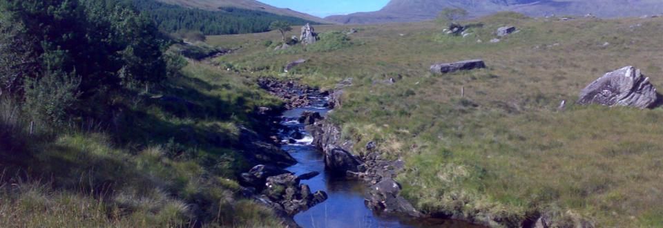
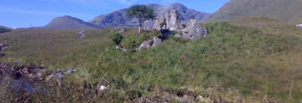
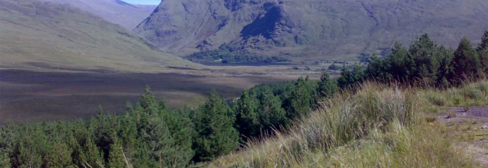
The Bangor Trail is a waymarked walking trail in Erris, North Mayo, Ireland. It is about 29 kilometres in length. It takes a route south from Bangor Erris through the Nephin Beg Mountain range to Newport and is a fairly tough, remote hiking trail. The area is largely Atlantic blanket bog terrain. The Bangor Trail follows an old drover path which may date from the Iron Age. There are, along the route, evidence of previous human habitation, particularly from the mid-19th century just prior to the Irish Famine when population pressure in this area was intense. In the days (16th century until early 20th century) when English landlords owned vast estates across Ireland, fishing and hunting lodges abounded, especially beside the rivers and lakes, which were used seasonally for red deer and shooting expeditions and the leisure activities of the aristocracy. The landlords would have been responsible for the maintenance of sections of the trail which passed through their lands. The trail was the main route for people and livestock before roads were built in the area in the first half of the 19th century.
The Western Way
Starting at Aasleagh near Leenaun to Ballycastle - it stretches 170km across boglands, beautiful countryside - moderate to hard but not for the faint-heater as it can take 5 days. Click here for maps and infomation
We can arrange walking guides locally to assist you in your exploration of Mayo.
To make an enquiry click here or eMail us with your specific requirements.

